
How to Read Countryside Footpath Signs and Rights of Way
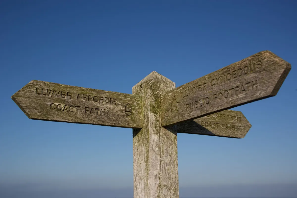
How to Read Countryside Footpath Signs and Rights of Way
A fingerpost at a crossroads often raises more questions than it answers. One arm says Public Footpath, another says BW 14, a third points into a hedge with no visible gap. Ten minutes later you are standing in a field, wondering whether the yellow arrow on the gate meant go through or keep out.
None of it is complicated once you know the shorthand. Footpath signs carry legal meaning as well as directions: they tell you who may use a route. Learn a handful of conventions and the countryside stops feeling like a maze of private land with a few gaps in it.
What the signs are telling you
Most signs mark one of two things: where a right of way leaves a road or track, or where two routes meet. The word to look for is public. Public Footpath and Public Bridleway are statements about legal access. A sign reading only "Footpath" may be a farm track, a permissive route, or a shortcut the landowner is happy to allow until they change their mind.
Fingerposts squeeze the detail into a few letters: FP for footpath, BW for bridleway, RB for restricted byway, and the occasional BOAT, a byway open to all traffic. The number that follows is the route's reference on the definitive map — the legal record held by the local highway authority, which in most of England is the county or unitary council. If you ever report a problem, that reference is what you quote. Distances, where they appear, are usually measured to the next junction rather than to your destination, so treat them as a nudge rather than a promise.
A permissive path is the other common label. It looks like a public right of way and may be waymarked with a white arrow, but it exists only because the landowner allows it. That permission can be withdrawn, limited to certain seasons, or closed on a whim. If a permissive route is shut, you need to follow the public route instead, even if the permissive one would save you a mile.
The four types of public right of way
In England and Wales, public rights of way fall into four categories, and the category decides who may legally be there.
- Public footpath — walking on foot only. No cycling, no horse riding, no motor vehicles.
- Public bridleway — walkers, horse riders and cyclists. Cyclists are expected to give way to walkers and horses.
- Restricted byway — all of the above, plus non-motorised vehicles such as horse-drawn carts.
- Byway open to all traffic — motor vehicles included, though many are unsurfaced and slow going.
Scotland works differently, with broader statutory access rights and its own waymarking conventions, and Northern Ireland has separate arrangements again. Outside England and Wales, check the guidance for that nation before relying on the colour of an arrow.
Waymarks: the small arrows that keep you honest
Waymarks are the little painted arrows you find on posts, gates, stiles and walls. They exist to reassure you at the points where the route is least obvious: a gap in a hedge, the corner of a wood, the middle of a farmyard.
In England and Wales the colour tells you what kind of route you are on. Yellow means public footpath, blue means bridleway, purple means restricted byway, and red means byway open to all traffic. A white or unpainted arrow usually points out a permissive route rather than a right of way.
Use them as confirmation, not as your only guide. If you have not seen a waymark for several minutes on a route that should be well marked, stop and check the map. Walking on in hope is how most twenty-minute detours begin.
On a public footpath you are entitled to follow the line of the path. You do not have the right to wander across the rest of the field.
That distinction matters when a path crosses open land. You can follow the line of the right of way, but you cannot cut across a field to save time. If the path bends around a headland, the bend is part of the legal route, not a suggestion.
Fingerposts, gates and stiles
Older fingerposts, especially the cast-iron ones, often carry the name of the parish and two or three destinations. They were made for a time when most people walked everywhere, and they can be more reliable than a phone signal.
Gates and stiles come with etiquette that is mostly common sense. Close gates behind you unless the gate is tied open or a sign asks you to leave it open. If you are walking with a dog, put it on a lead around livestock and near stiles, and never let it chase sheep or cattle. Use stiles one at a time, especially with a rucksack, and take care when lifting a dog over a stile — barbed wire and loose rails are the usual culprits.
If a stile is broken, a gate is wired shut, or a path is blocked by a fallen tree, that does not automatically give you the right to climb a wall or walk through crops. Note the grid reference or the nearest waymark number, take a photograph if you can, and report it later. The path remains a public right of way, but the obstruction may be temporary and the safe route may be a short detour.
When signs and maps disagree
Maps and signs are not always in perfect agreement. An old fingerpost may point to a path that has since been diverted. A yellow arrow may have faded to a pale cream. A new housing estate may have swallowed a junction that once existed. In these cases, the definitive map and any legal diversion order are the final word, but on the ground you often have to make a judgement.
Look for continuity. Waymarks usually appear at changes of direction, gateways, and where a path leaves a field. If you can see a worn line in the grass, a gap in a hedge, or a stile ahead, that is stronger evidence than a single ambiguous arrow. If nothing lines up, backtrack to the last certain waymark rather than pushing on through a crop or a garden. A short return to a known point is quicker than an hour of guesswork.
Maps, apps and the definitive map
A paper map or a reputable